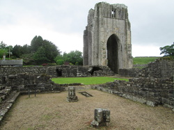
Or, how to be a path purist
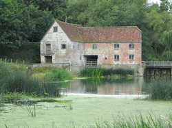
I told you the mileage would go down and the quaffage would go up once Pete got here. Annie and Graeme and Adam and Karen also came up on Saturday. We had a short stroll around Avebury followed by several pints in the Red Lion. My friend the barman said he didn't recognise me without my hiking gear on! Then back into Devizes for several more pints at the Black Horse near Caen Hill Locks. This pub had quite possibly the worst / most comical method of ordering food. We were told that a couple of things were of the menu, then a couple more and so it went on. "Tell us what you have got," says Annie "and we'll order that." So we do. Then a few minutes later they come back to tell us that's off as well. A&K's meal was completely overlooked and arrived much later. They also ran out of ice and Jack Daniels. Sunday was a case of meeting up from our respective B&B's for a final marvel at the Caen Hill locks before wending our ways homewards.


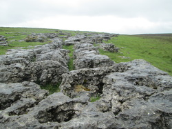
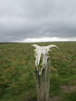
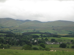
Now, whilst I didn't mind so much that I had missed a few miles of the path to fit in with the buses, I was perturbed that I hadn't got near enough to the horse at Alton Barnes to actually tickle its ears, as I had with each of the others. And so Pete and I set off on a lovely walk to see it up close and personal. The Alton Barnes 'Henry' is on Milk Hill, one of the highest points in Wiltshire and you can see it for miles around. Can also see the Cherhill monument and the Pewsey horse from up there. The Alton Barnes horse was cut in 1812 and paid for twice as the person originally paid £20 in advance absconded with the money. He was later caught and found guilty for a number of crimes for which he was hanged. After tickling the ears, we walked over to Adam's Grave, a neolithic chambered long barrow. Nice. Turns out the little 7.5 mile loop I had planned was like the trail in summary - canal tow path, a bit of the Wessex Ridgeway, amazing views across the Vale of Pewsey and to Avebury and Silbury Hill, glacially scooped out hill sides with paragliders, a chalk horse, an ancient monument, a pretty village and a pub! In fact, could have just done this and saved myself the strain of the other 94 miles! But this was a great walk on a sunny day. And of course I wouldn't have missed the rest of the walk - I thoroughly enjoyed myself and all the local history was amazing. Can't believe how much there is crammed into such a small space. Big up to the ancestors.
So a final farewell to Devizes and the horses, back home via Woodhenge and home in time for tea and to greet my little pussy cat boys after 8 days away.
So a final farewell to Devizes and the horses, back home via Woodhenge and home in time for tea and to greet my little pussy cat boys after 8 days away.


 RSS Feed
